
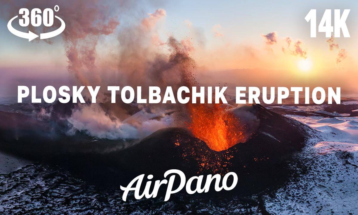
Plosky Tolbachik Volcano Eruption, Kamchatka, Russia

This is our first attempt to convert our 360 photo into highres 360 video using AI.
Eruption has been shot in December 2012.
Here are some facts about this volcano eruption:
Tolbachik Volcano (active Plosky Tolbachik (3085 m) and extinct Ostry Tolbachik (3682 m)) is the largest volcanic center of the southwestern sector of the Klyuchevskaya volcanic group, located at Kamchatka Peninsula in Russia.
About 10 000 years ago (in the Early Holocene), at the summit of Plosky Tolbachik was formed the first caldera some 3 km in diameter and also a regional zone of cinder cones northeast and southwest of the volcano resembling rifts Hawaiian volcanoes.
South zone extends about 45-50 km to the volcano Nikolka, and is called Tolbachinsky Dol. About 80% of the eruptive centers in the form of multitude fissures and chains of cinder cones concentrated along the center zone of Dol in a narrow (3-4 km) strip.
It is reliable known for two eruptions in Tolbachinsky Dol: 1941 and 1975-1976.
The new fissure eruption on Tolbachinsky Dol began on November 27, 2012, and continuing at present. From November 27 until December 05, the area of lava flows was about 20 km2. The volume of eruptive material (pyroclastics and lava) at December 20, 2012, is estimated at 1.0 km3.
 03:46
03:46 57:37
57:37 07:45
07:45 05:59
05:59 57:49
57:49 00:39
00:39![[VR180 3D 8K]Sanrio Character Boat Ride (Sanrio Harmony land)](https://cdn-vr.deovr.com/images/138181/21452_vr-d-ksanrio-character-boat-ride-sanrio-harmony-land-cover-app.jpg) 07:11
07:11 25:32
25:32 13:59
13:59 28:44
28:44 14:48
14:48 02:29
02:29