New: AI passthrough!
This amazing Deo feature uses the power of AI to turn every VR scene into AR passthrough! Now you can take characters out of VR and have them right there with you - as if they were in the same room.
Notice: AI Passthrough is presently in beta mode, and as such, users may encounter occasional service imperfections. The feature is currently exclusive to the DeoVR app, but it will soon be accessible on both browsers and mobile devices. Your feedback is highly encouraged and appreciated.
Recommended headsets:
Meta Quest 3, and Quest Pro with stereoscopic color passthrough, Pico 4 (monoscopic color passthrough).
Compatible headsets:
Quest 2, Valve Index (monoscopic black and white passthrough).
Passthrough is not compatible yet for Oculus Link cable.
Check out our complete guide to passthrough and join in the discussion at our busy forum.
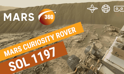
The panoramic view of the landing site is made by the navigation terrain camera on the mast of the Zhurong rover, when the rover has not left the landing platform.
The image shows that the terrain near the landing site is flat, and the Martian horizon can be seen in the distance. The abundance and size of the rocks are consistent with expectations, indicating that the autonomous selection of the landing site and the implementation of hovering obstacle avoidance are effective. The Mars topography map is the first topography and geomorphology image map taken by the navigation terrain camera after the rover reaches the surface of Mars.
China National Space Administration Tianwen-1 interplanetary mission
Source images credit: CNSA
Stitching and retouching: Andrew Bodrov / 360pano.eu (http://bit.ly/zhurong0027)
#Mars360 #Video360 #360VR #Mars #Sol0027 #Zhurong






![Gustavo Diaz-Jerez -- Perseus Lament (a Black Hole Ballade). [8K] Gustavo Diaz-Jerez -- Perseus Lament (a Black Hole Ballade). [8K]](https://cdn-vr.deovr.com/images/5949/gustavo-diazjerez-perseus-lament-a-black-hole-ballade-k-cover-app.jpg)

