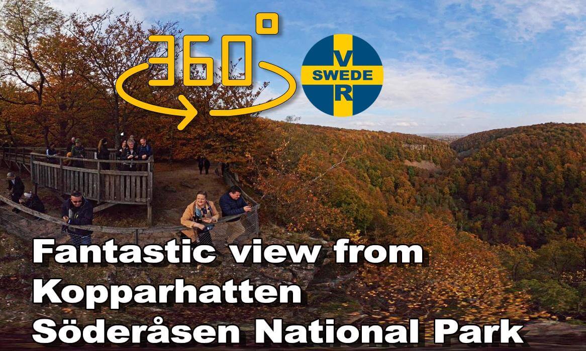
Söderåsen is a northwest–southwest fantasic elongated bedrock ridge in Scania

Kopparhatten
On Söderåsen is the viewpoint Kopparhatten at a height of 200 m (660 ft). It is the highest point in Söderåsens national park. This part of the hill has a particularly dramatic landscape, with up to 90 m (300 ft) deep ravines. Various nivation hollows exists in the vicinity of Kopparhatten.
Söderåsen is a northwest–southwest elongated bedrock ridge in Scania in southern Sweden. On Söderåsen is Scania's highest point at 212 m (696 ft) above sea level. It is intersected by several fissure valleys. The ridge extends from Röstånga in the southeast to the Åstorp in northwest.
Söderåsen National Park is located 30 km (19 mi) east of Helsingborg in Scania.
Geography
In Swedish the word ås commonly refer to eskers, a glacial landform, but in the case of Söderåsen it corresponds to a tectonic landform called horst[2] in the Sorgenfrei-Tornquist Zone. The last glacial ice sheet, the Weichsel ice, left the area of Söderåsen 14,000 to 13,500 years BP. Following this there was a period up to 12,700 years BP of cold non-glacial conditions with permafrost and strong winds.
 09:25
09:25 1:14:14
 01:44
01:44 01:53
01:53 44:36
44:36 05:13
05:13 04:37
04:37 02:22
02:22 16:35
16:35 19:14
19:14