New: AI passthrough!
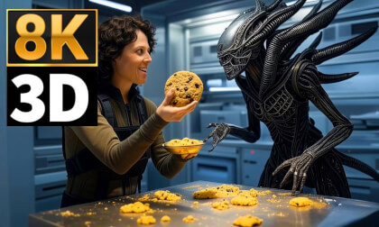
This amazing Deo feature uses the power of AI to turn every VR scene into AR passthrough! Now you can take characters out of VR and have them right there with you - as if they were in the same room.
Notice: AI Passthrough is presently in beta mode, and as such, users may encounter occasional service imperfections. The feature is currently exclusive to the DeoVR app, but it will soon be accessible on both browsers and mobile devices. Your feedback is highly encouraged and appreciated.
Recommended headsets:
Meta Quest 3, and Quest Pro with stereoscopic color passthrough, Pico 4 (monoscopic color passthrough).
Compatible headsets:
Quest 2, Valve Index (monoscopic black and white passthrough).
Passthrough is not compatible yet for Oculus Link cable.
Check out our complete guide to passthrough and join in the discussion at our busy forum.
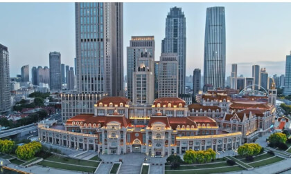
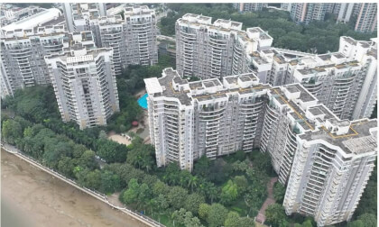
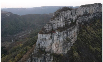
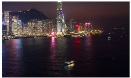
Our ultimate vision aerial photography 3D algorithm software can be used to shoot and generate massive aerial photography 3D high-definition video content for VR, games, tourism, urban management and other industries; it can also be made into aerial photography 3D software and aerial photography 3D cameras. The combination of 3D aerial photography technology and 5G can be used to make real-time 3D real-world remote driving, remote tourism, and various Internet projects with massive user groups.
Welcome to communicate, discuss and cooperate.
