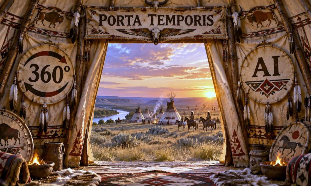
Moh’kinsstis – Blackfoot Camp (c. 1835)
Step into Moh’kinsstis (modern-day Calgary) around 1835, on the traditional lands of the Niitsitapi, or Blackfoot peoples.
Explore this immersive 360° reconstruction of a Blackfoot camp beside the Bow River. Discover the tipis, horses, travois, drying meat, fires and everyday activities of a living Plains community, while riders cross the open prairie beyond the camp.
Best experienced from the GPS location below:
51.046373, -114.045068
Map: https://www.google.com/maps?q=51.0463...
Rotate the video with your finger to align the virtual river, camp and surrounding prairie with their real-world directions and fully enjoy the reconstructed landscape.
The Niitsitapi had occupied and travelled through the region of Moh’kinsstis for generations before the establishment of modern Calgary. By the early 19th century, horses had become central to mobility, hunting and life on the northern Plains, while trade had also introduced firearms, metal objects, textiles and other goods.
The scene represents a plausible camp around 1835 rather than a documented reconstruction of one specific encampment at this exact location and date.
Some distances, proportions and elements have been slightly adjusted for visual readability in 360°, while preserving the historical character of the landscape and community.
A historical evocation by Porta Temporis.
 08:04
08:04 27:41
27:41 02:58
02:58 1:14:14
 02:23
02:23 14:20
14:20 04:38
04:38 01:40
01:40 02:29
02:29 07:30
07:30 04:41
04:41