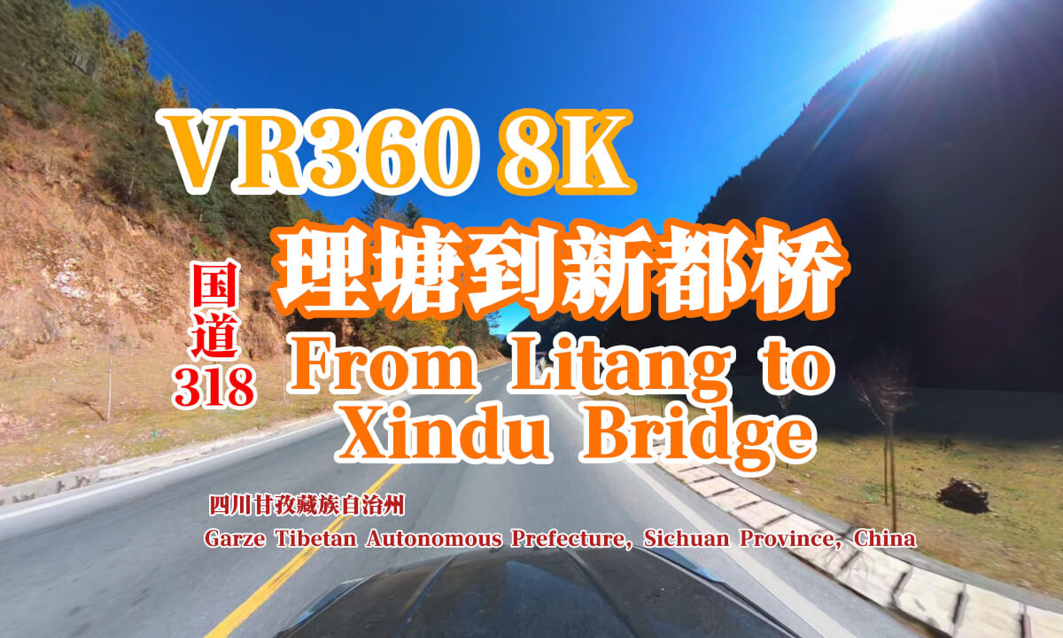
【VR 8K】From Litang to Xindu Bridge 理塘到新都桥

The route from Litang to Xinduqiao is a classic section of the Sichuan-Tibet Highway (National Highway G318), offering breathtaking scenery and the unique charm of the plateau. This route traverses the eastern part of the Qinghai-Tibet Plateau, passing through mountains, grasslands, rivers, and Tibetan villages, presenting diverse and captivating landscapes. Below are the main scenic highlights along the way: 1. Kazila Mountain Kazila Mountain: At an elevation of 4,718 meters, Kazila Mountain is another high peak on the journey from Litang to Xinduqiao. Standing at its summit, one can overlook the continuous snow-capped mountains and vast grasslands, offering an extremely open and expansive view. Plateau Pastures: Near Kazila Mountain, there are many pastures belonging to Tibetan herders. In summer, the grasslands are covered with blooming wildflowers, creating a truly enchanting scene. 2. Yajiang County Yalong River Grand Canyon: Yajiang County is located along the Yalong River, where the canyon is deep, the river flows rapidly, and the steep mountains on both sides create a magnificent landscape. Tibetan Villages: Along the way, you will pass through several Tibetan villages, where you can experience the rich Tibetan culture and folk customs. 3. Gaersi Mountain Gaersi Mountain: At an elevation of 4,412 meters, Gaersi Mountain is the final high mountain on the route from Litang to Xinduqiao. It was once an important pass on the Sichuan-Tibet Highway. Although a tunnel has no
![[8K VR180] AKIHABARA, walking thru | QooCam 3 Ultra (Q3U) VR180 Mod.](https://cdn-vr.deovr.com/images/139650/92543_video--cover-app.jpg) 07:54
07:54 01:55
01:55 07:24
07:24 45:40
45:40 03:57
03:57 06:51
06:51 06:32
06:32 03:35
03:35 44:36
44:36