
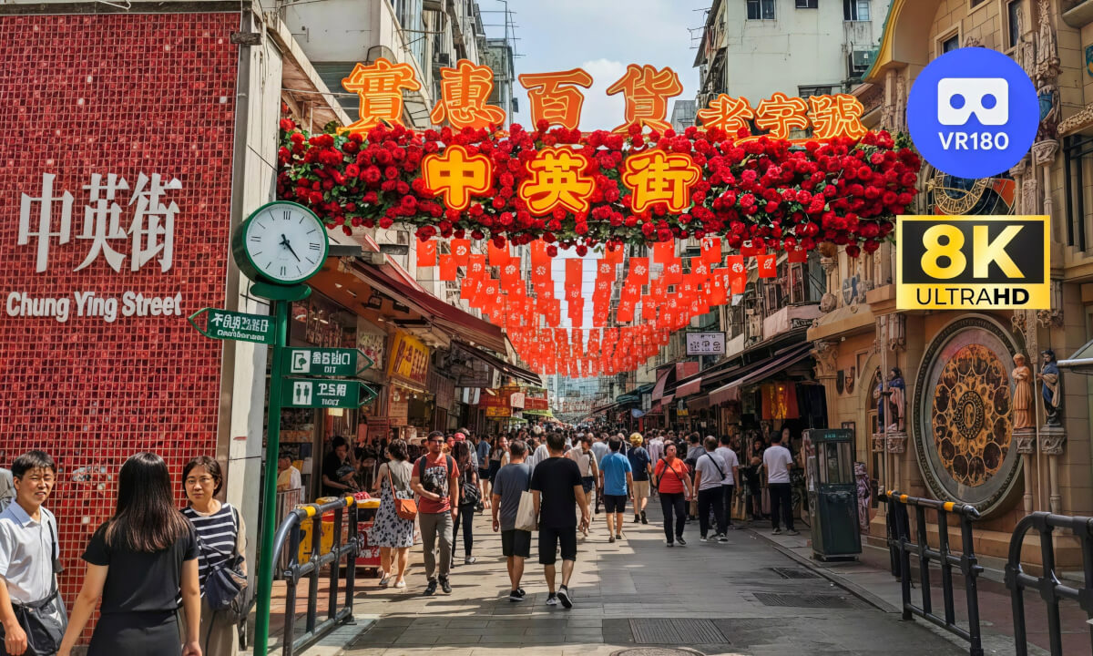

What appears today as a unique "one street, two systems" landmark has its roots not in peaceful development, but in the turmoil of war. The very existence of this street is deeply etched with the scars of modern Chinese history, specifically, the period of Japanese aggression.
In 1938, the iron heel of the Japanese invasion crushed the peace here as coastal South China fell. The Sha Tau Kok River, which originally served as a vague boundary, saw its strategic meaning shift under Japanese military control. To facilitate their command and supply lines, the Japanese army forced laborers to build a simple military road along the riverbank. This road became the very foundation of what is now Chung Ying Street. In a stark sense, it was the Japanese military's actions that first physically carved out this dividing line.
Then, in 1941, with the outbreak of the Pacific War, Japanese forces swiftly occupied the entire Hong Kong, including the British-leased New Territories. From that moment until Japan's surrender in 1945, this boundary line lost all practical meaning. Both sides fell under the same brutal occupation. This was a cruel, forced "unity" born from shared suffering under a common aggressor.
It was only after the victory in the War of Resistance against Japan that the peculiar fate of this street was truly sealed. With the British colonial administration resuming control over Hong Kong, the road built by the Japanese army naturally evolved into the new, clear demarca
 09:13
09:13 14:49
14:49 42:15
42:15 03:43
03:43 15:05
15:05 06:25
06:25 58:46
58:46 1:58:00
 07:20
07:20 34:30
34:30 25:37
25:37 22:44
22:44