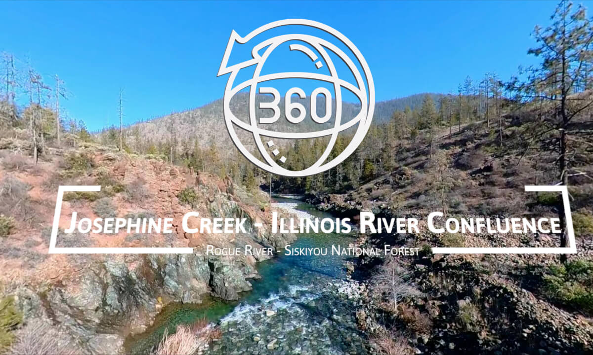
360° Invisible Drone | Josephine Creek - Exploration of the Illinois River Valley | Southwest Oregon

Immerse yourself in a stunning VR 360° aerial journey over Josephine Creek, a historically significant waterway in Southwest Oregon. Captured with the DJI Air 2S, Insta360 Sphere, and recorded in full spatial audio with the Zoom H3-VR, this video takes you along the creek’s rugged path through the ancient Siskiyou Mountains.
🌲 About Josephine Creek 🌲
Josephine Creek holds a rich Gold Rush history, as it was the site of one of the earliest gold discoveries in Oregon (1851), which led to the establishment of Josephine County. Miners once scoured these waters, seeking their fortune in the placer gold deposits. The creek’s path winds through a dramatic landscape shaped by tectonic uplift, volcanic activity, and erosion over millions of years.
🏔 The Surrounding Landscape 🏔
The Josephine Creek watershed lies within the Klamath-Siskiyou Mountains, one of the most biologically diverse regions in North America. These rugged peaks are home to rare plant species, remnants of an ancient ecosystem dating back to the time of the dinosaurs. The video ends where Josephine Creek meets the Illinois River, just before the $8 Mountain Road bridge, a gateway to some of the most remote wilderness in Oregon.
🔹 Best Viewed in a VR Headset for full immersion!
🔹 Explore in 8K resolution for the best quality!
🔹 Like & Subscribe for more VR 360° adventures!
#VR360 #DroneFootage #JosephineCreek #OregonHistory #IllinoisRiver #GoldRush #SiskiyouMountains
 20:09
20:09 05:13
05:13 08:51
08:51 03:30
03:30 10:00
10:00 13:16
13:16 02:16
02:16 03:43
03:43![Bees and lotus蜜蜂与荷花[VR180]](https://cdn-vr.deovr.com/images/138932/37617_bees-and-lotusvr-cover-app.jpg) 01:17
01:17