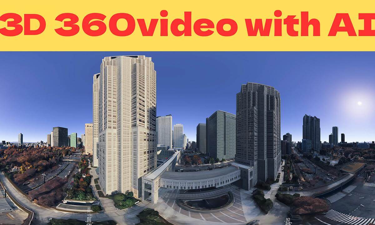
Welcome to my 62nd AI 360° VR video!
For this production, we used AI only for specific tasks—namely 3D/VR conversion and video upscaling—while creating the bulk of the footage using Google Earth Studio.
Unlike my previous aerial videos of the Vatican and Sagrada Família—where I generated AI images first and then converted them into videos—this time I was able to create the entire sequence directly in Google Earth Studio thanks to Tokyo’s rich 3D map data.
This project originally started with a request to generate an AI video of a location where drone footage is restricted. However, creating it entirely with AI resulted in scenery that differed too much from reality. I turned to Google Earth for accuracy, but that initial location lacked 3D data. Fortunately, Tokyo has abundant 3D data, making the creation process super smooth and easy!
Hope you enjoy this 360° aerial tour!
Credits & Attribution
Created with Google Earth Studio
Map Data: © Google, Airbus, CNES / Maxar Technologies
AIを活用した360度VR動画シリーズ、第62弾へようこそ!
今回の制作では、映像の大部分を「Google Earth Studio」で作成し、AIは3D/VR変換や映像のアップスケーリングといった特定の工程にのみ使用しました。
以前制作したバチカンやサグラダ・ファミリアの空撮動画では、まずAIで画像を生成し、それを動画に変換するというワークフローを採用していました。しかし今回は、東京の充実した3D地図データのおかげで、一連の映像をすべてGoogle Earth Studio内で直接作成することができました。
このプロジェクトは、ドローン撮影が制限されている場所の映像をAIで生成するという依頼から始まりました。しかし、AIだけに頼ると、実際の風景とは大きく異なる映像になってしまうという課題がありました。そこで正確性を期すためにGoogle Earthを活用することにしましたが、当初は一部の場所で3Dデータが不足していることが分かりました。幸いなことに、東京には豊富な3Dデータが整備されていたため、制作プロセスは非常にスムーズかつ円滑に進みました!
この360度空撮ツアーを
 12:28
12:28 04:25
04:25 01:29
01:29 02:22
02:22 05:13
05:13 03:47
03:47 03:05
03:05 20:10
20:10 23:38
23:38 02:10
02:10