Motion warning!Motion!
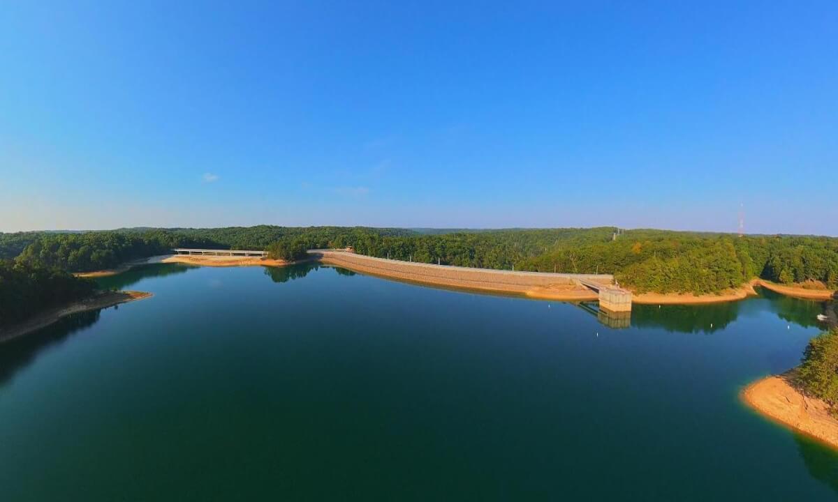
7.25km Aerial Over Laurel River Lake from Craigs Creek To The Dam
Interactive long aerial from Craigs Creek Boat Ramp to the dam at Laurel River Lake and then the return. Holly Bay Marina is lit by the early morning sun. No boat traffic was visible and only one fisherman had launched from Marsh Branch. Laurel River Lake is very low due to a cold early 2026, rainfall for the year approximately 7" below normal, & a hot summer. Many boat ramps are either unusable or nearly unusable.
The drone used was a DJI Avata360. This is most likely the longest single flight I have conducted with this aircraft. The distance was 7.25 km or 4.50 miles round trip, landing with about 30% battery life remaining.
#laurelriverlake #djidrone #djiavata360 #kentucky #dji
 10:19
10:19 05:18
05:18 16:56
16:56 04:31
04:31 02:00
02:00 11:24
11:24 05:09
05:09 07:30
07:30 03:22
03:22